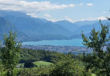
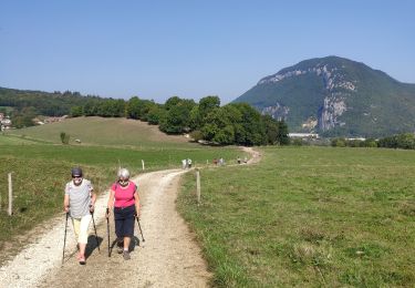
Trail Trail La Balme-de-Sillingy - Trail de la Mandallaz 2021 - Trail à Deux Têtes - Photo

Trail de la Mandallaz 2021 - Trail à Deux Têtes

© OpenStreetMap contributors
Length
Length
20 km
Max alt
Max alt
934 m
Uphill gradient
Uphill gradient
966 m
Km-Effort
Km-Effort  
33 km
Min alt
Min alt
498 m
Downhill gradient
Downhill gradient
966 m
Boucle
Boucle
Yes
Creation date :
2021-08-23 09:42:02.368
Updated on :
2021-08-23 09:44:14.904

(0 Reviews)

Trail
Trail
--
Difficulty : Difficult

Scan this QR Code to open this trail in the SityTrail application

FREE GPS app for hiking

Logo SityTrail SityTrail

IGN / Geographical institutes

Download SityTrail from the App Store Download SityTrail from Google Play

Logo SityTrail SityTrail World

The world is yours!

Download SityTrail from the App Store Download SityTrail from Google Play Download SityTrail on Huawei AppGallery

About

Trail Trail of 20 km to be discovered at Auvergne-Rhône-Alpes, Upper Savoy, La Balme-de-Sillingy. This trail is proposed by Guillaume Peru.

Elevation profile

Positioning

Country:
France
Region :
Auvergne-Rhône-Alpes
Department/Province :
Upper Savoy
Municipality :
La Balme-de-Sillingy
Location:
Unknown
Start:(Dec)
Start:(UTM)
270899 ; 5093908 (32T) N.

Trails nearby

Trail Mountain bike La Balme-de-Sillingy - MANDALLAZ super, pas pour débutant.  - Photo
Mountain bike
TFOLCHER

Mountain bike

Difficult
(1)
La Balme-de-Sillingy, Auvergne-Rhône-Alpes, Upper Savoy, France
17.2 km | 25 km-effort
2h 34min
No
Trail Cycle Annecy - semnoz par quintal - Photo
Cycle
jojoimothep

Cycle

Medium
(1)
Annecy, Auvergne-Rhône-Alpes, Upper Savoy, France
32 km | 52 km-effort
11min
No
Trail Walking Vaulx - Autour de la commune de Vaulx 74150  - Photo
Walking
GuyCharvier

Walking

Easy
Vaulx, Auvergne-Rhône-Alpes, Upper Savoy, France
14.4 km | 19.6 km-effort
3h 49min
Yes
Trail Walking Épagny Metz-Tessy - La Golliettaz_29-08-2021 - Photo
Walking
GUIDE
Kargil

Walking

Medium
(1)
Épagny Metz-Tessy, Auvergne-Rhône-Alpes, Upper Savoy, France
15.5 km | 24 km-effort
3h 57min
Yes
Trail Walking Poisy - Marais de poisy, chemin de Poësy et vergers de Macully - Photo
Walking
COMAN

Walking

Very easy
Poisy, Auvergne-Rhône-Alpes, Upper Savoy, France
5.5 km | 7 km-effort
1h 25min
Yes
Trail Walking Nonglard - Nonglard - Photo
Walking
jpbo

Walking

Very easy
Nonglard, Auvergne-Rhône-Alpes, Upper Savoy, France
7.3 km | 10.8 km-effort
2h 37min
No
Trail Walking Épagny Metz-Tessy - petit tour de la mandallaz - Photo
Walking
COMAN

Walking

Easy
Épagny Metz-Tessy, Auvergne-Rhône-Alpes, Upper Savoy, France
8 km | 12.2 km-effort
3h 30min
Yes
Trail Walking Épagny Metz-Tessy - Boucle MANDALLAZ - Photo
Walking
Jean-Paulchoux

Walking

Easy
Épagny Metz-Tessy, Auvergne-Rhône-Alpes, Upper Savoy, France
8.5 km | 13.6 km-effort
2h 41min
Yes
Trail Walking Vaulx - VAULX - Photo
Walking
GUIDE
HERRY

Walking

Easy
Vaulx, Auvergne-Rhône-Alpes, Upper Savoy, France
8.8 km | 12.5 km-effort
2h 12min
Yes


Close
My subscriptions